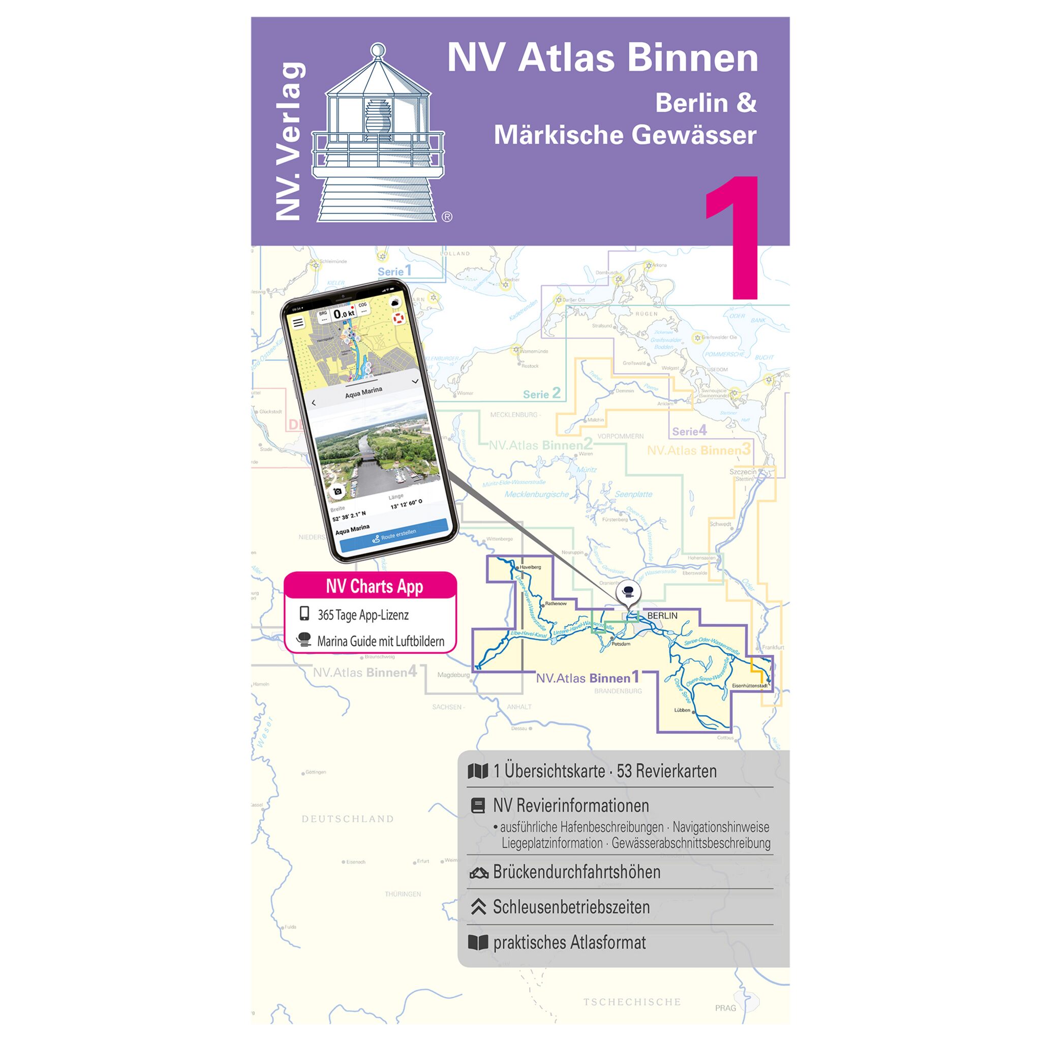
Kombipack atlas Binnen 1 - Berlin and Märkische waters
Sport boaters and sailors who want to sail the inland waters of Berlin and Märkische Gewässer will find all the important information for the next trip planning in the new combipack NV Atlas Binnen Berlin & Märkische Gewässer. This NV Kombipack atlas contains overview maps, district maps and detailed maps. Should you navigate digitally, you are also perfectly prepared for it with this atlas. All map material can be used thanks to the free NV Charts app on all major operating systems. The digital map material for the Chartnavigator can be easily downloaded from the NV website www.nv-verlag.de. The following Berlin and Märkische waters are included: Lower Havel Waterway with the western part of the Teltow Canal, Potsdam Havel, Emster Gewässser, Beetzsee-Riewendsee Waterway, Elbe-Havel Canal with connections to the Elbe, Teltow Canal (eastern part), Kleinmanchow, Spree-Oder Waterway and Berlin Canals, Rüdersdorfer Gewässer - Langerhanskanal, Dahme Waterway, Storkower Gewässer, Teupitzer Gewässer, Upper Spree Waterway with Dahme Umflut Canal.
| Application area: | Berlin & Märkische waters |
|---|---|
| Series: | Binnen 1 |


